

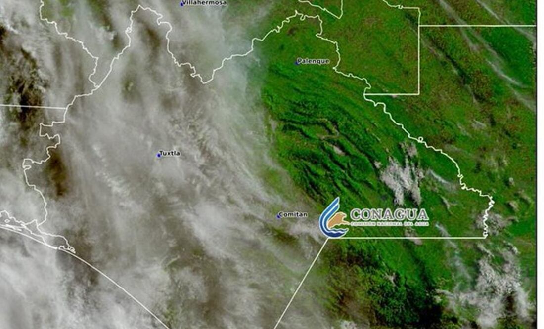
Tropical Storm Dalila’s cloud bands interacting with low-pressure channels and the approach of Tropical Wave 3 will generate heavy rains in Chiapas over the next three days.
According to the National Meteorological Service (SMN) forecast, Tropical Storm Dalila is a low-pressure channel with atmospheric instability. In addition to the entry of humid air from the Pacific Ocean, it will cause heavy rains of 30 to 75 millimeters in Chiapas and other states.
Due to the heavy rains, streams and rivers are likely to overflow, as well as the movement of materials and flooding.
The municipalities expecting heavy rains are Acapetahua, Escuintla, Frontera Hidalgo, Huehuetán, Huixtla, Jitotol, Mapastepec, Mazatán, Villa Comaltitlán, Suchiate, Tapachula, and Montecristo de Guerrero.
Read also: Yucatán on alert due to the arrival of large quantities of sargassum on its coasts; Service providers fear impact on tourism
The State Civil Protection System is monitoring the regions of Mezcalapa, Soconusco, De Los Bosques, Metropolitana, Altos Tzotzil Tzeltal, Tulijá Tzeltal Chol, Sierra Mariscal, Norte, De Los Llanos, Isthmus-Coast, Maya, and Valles Zoque.
Authorities urged the population to exercise extreme caution when traveling on dirt roads and rural roads due to low visibility, slippery terrain, possible landslides, or sudden floods with debris.
They recommended that, in the event of a risk of landslides or rockfall, people evacuate immediately and avoid crossing riverbeds, streams, fords, and low-lying areas, as well as crossing over flooded bridges.
State, municipal, and federal authorities are coordinating preparedness, prevention, and, where appropriate, response actions that will contribute to the protection of the population, property, and the environment.
Source: eluniversal


